When I was a little girl, my dad took me on my first hiking trip on the Presidential Range for my elementary school graduation gift. Of course, since I was only 10 years old, we took it easy (if there's such a thing in the Whites!). The van drove us up the auto road and we hiked down to the Lake of the Clouds Hut for the night, only 1.6 miles, which I thought was a lot back then! We continued on to Mizpah Hut the next day getting stuck in a powerful thunder and lightning storm and then finished out our hike the next morning to Crawford Notch. I caught the hiking bug and ever since then, I truly love and enjoy being outdoors. I could not wait to hike a full Presidential Traverse and I figured my college graduation would be the perfect time.
 |
| 10 years old! |
Our original plan was to start our hike off of Route 302 on the Webster Cliff Trail and continue to follow the Crawford Path to the Gulfside Trail hitting each peak as we climbed and then down the Osgood Trail back to Pinkham Notch. Due to Mt. Washington's "Home of the world's worst weather", our plans got turned upside down. I will elaborate as I explain the story in detail... hang in there, its a long journey :)
 |
| Start of the hike! |
 |
| Trailhead |
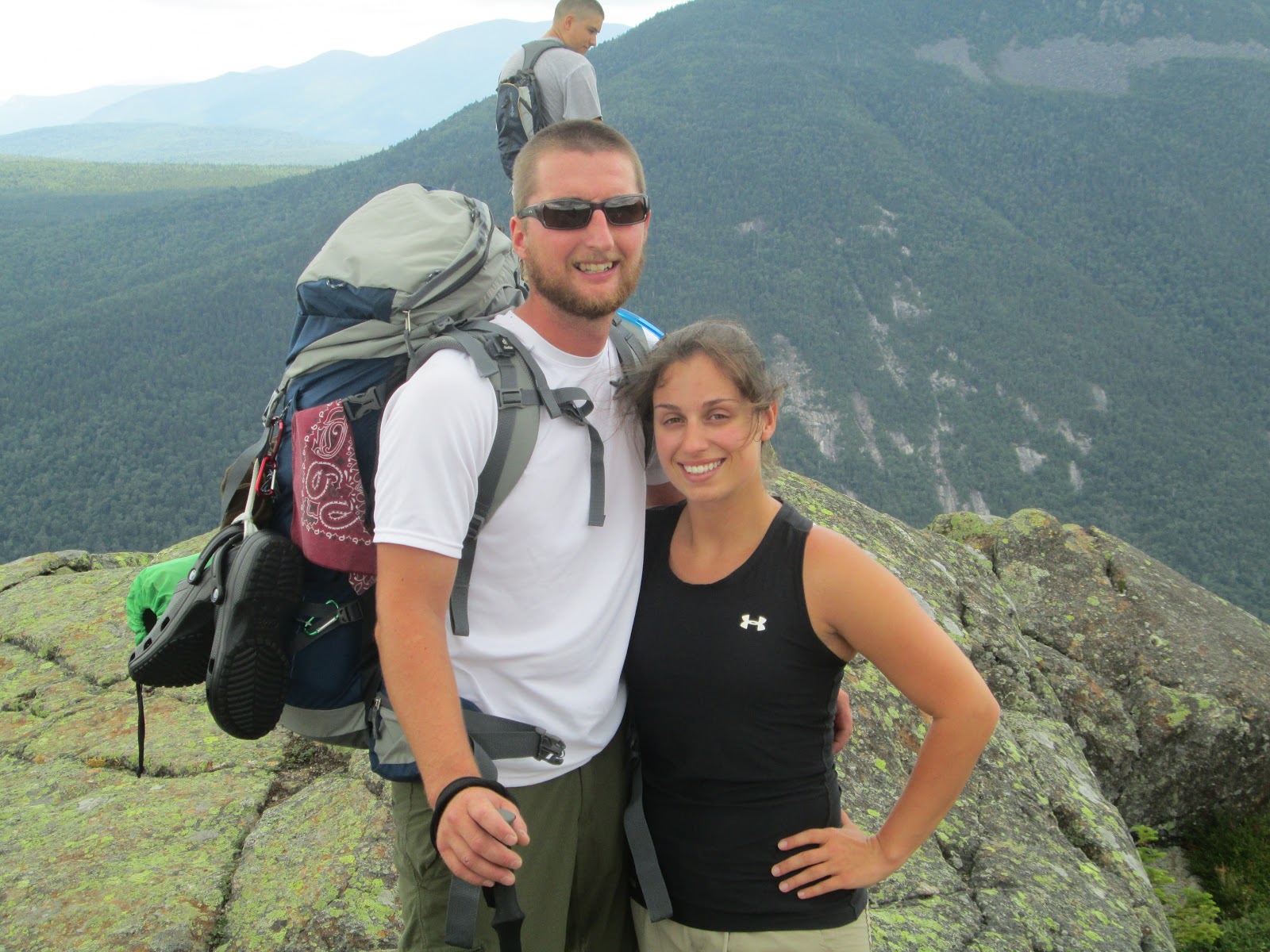
I was super excited to begin this trip because I had just found out I passed my nursing boards, which means that I am finally an official registered nurse!! What more could I have asked for as a celebration than to spend some quality time in the woods :) We started our hike on Sunday, July 22 at about 10am after a delicious breakfast at the Red Fox. Our friends were up camping the night before at Dolly Copp Campground and joined us on the first days hike up to Mt. Webster. Lucky for me, the boys took turns carrying my pack which weighed 30 lbs... Ill admit it! The Webster-Cliff Trail has quite a few false peaks, so a couple of times we thought we were at the top but still had a ways to go. Our friends decided to head back at one of the false peaks, and we of course carried on. Finally after some serious vertical climbing we made it to the official peak of Mt. Webster. Although this peak isn't a 4,000 footer, we were glad to finally be up at elevation.
Next peak we hit was Mt. Jackson and then down to Neuman tent site where we stayed the night. The tent site is right at Mizpah Hut, so we cooked dinner and then went into the hut to play cards since there was not much else to do. I lost miserably. While we were in the hut, I found the old hiker log from when I went hiking with my dad! It was so exciting to know I had been there before so long ago.
 |
| First lookout. My Sherpa straight ahead :) |
 |
| Sean with Mts. Tom, Field and Willey in the background |
 |
| Carolann and Me! |
 |
| Sean and I |
 |
| Hungry men |
 |
| Serious rock scrambling |
 |
| Grey Jays at the summit of Mt. Webster! |
 |
| View of the Southern Presidential's |
 |
| Lots of vertical |
 |
| At the tent site getting ready for dinner... mmm |
 |
| My signature drawing apparently... haha and yes those are mountains |
 |
| Mizpah Hut... Ready to start day 2 |
On Monday, we continued on our hike with the destination of Lake of the Clouds Hut. It was only about 5 miles away, so it was the shortest day distance wise on the hike. The first peak we hit was Mt. Pierce, only .9 miles away. The trail over Mt. Pierce is a little path lined in rocks to protect any growth from being trampled over because its in the alpine zone. Next peak was Mt. Eisenhower, identified easily because it looks like a big bald round hump. We met a nice group of hikers at the top who thought we were crazy because they said they only liked to do day hikes. That ~30 lb. bag makes a big difference when you do multi-day trips! After a while though, you get used to the bag and it does not slow you down as much.
We continued on to Mt. Monroe, the last summit for our second day of hiking. At the peak, we could also see Lake of the Clouds Hut and knew we would be there in only a few minutes. All of us were ready to get our pack and boots off. We were lucky with a perfect hiking day, but could see that the clouds were building. Later on that night after dinner, an impressive storm rolled in giving us a spectacular light show! I felt really bad for the thru hiker who had his dog with him who had to sleep outside in a tent. Dogs unfortunately are not allowed in the huts :( It stormed throughout the night, so everyone had a hard time sleeping (except the one guy who snored throughout the night). The wind turbines were whipping on top of the hut making for a loud night. Also, I was on the top of three bunks and was nervous I was going to fall off! The bunk was really high with no side rails! The idea of the huts are really awesome, but if you are a light sleeper like myself, its not the best option if you want/need rest. If you are am AMC member, it costs around 100$ per night to stay in the hut, plus they serve an impressive dinner and breakfast.
 |
| Heading to Mt. Pierce |
 |
| The trail is maintained really well |
 |
| Mt. Pierce! |
 |
| Top of Mt. Pierce looking at Mt. Eisenhower |
 |
| 3.9 miles to go! |
 |
| Stairs up to Mt. Eisenhower |
 |
| Incredible looking back at the distance we have covered |
 |
| Checking out the map |
 |
| Always need my picture with the cairns! |
 |
| The three of us |
 |
| Looking back at Mt. Eisenhower on our way to Mt. Monroe |
 |
| Chris playing Jenga |
 |
| Top of Mt. Monroe |
 |
| The massive Mt. Washington with the lakes in the background |
 |
| Top of Mt. Monroe |
 |
| Lake of the Clouds Hut! |
 |
| Ohmmm |
 |
| The water was freezing, soaking my feet was enough! |
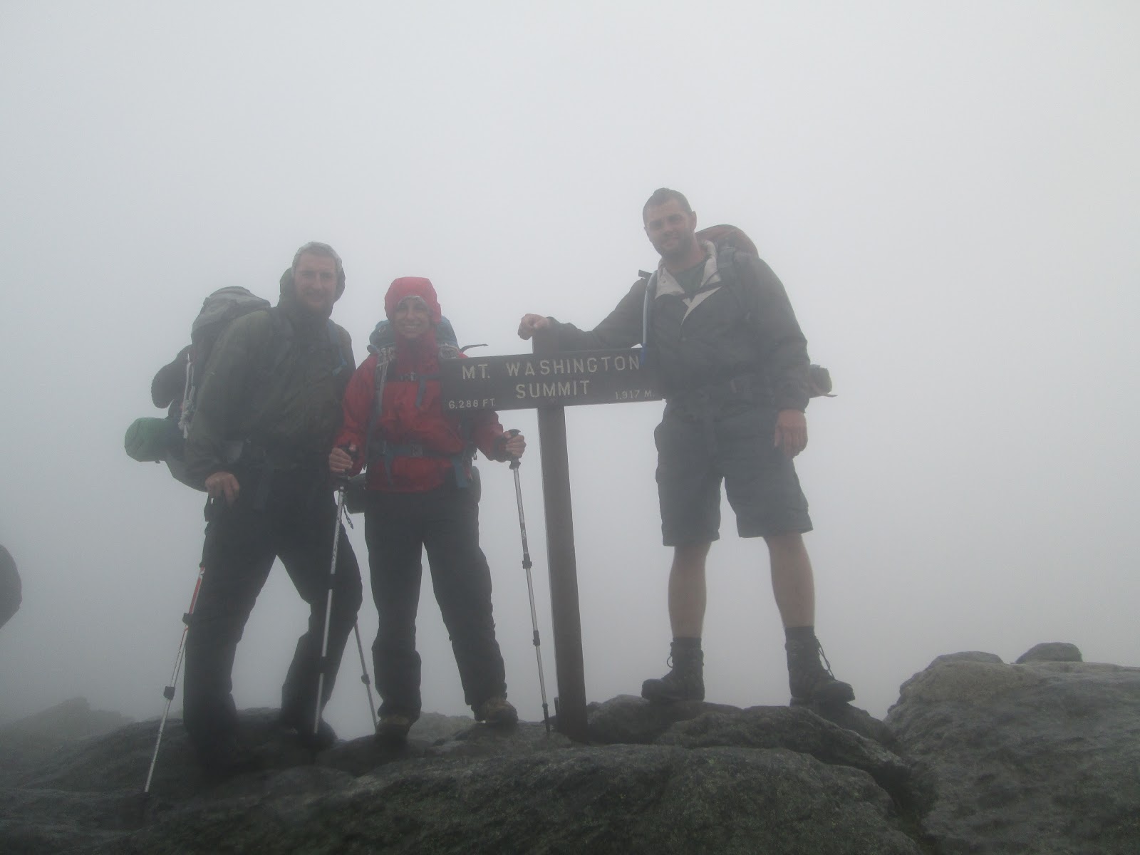
The next morning we woke up to really bad fog and wind. We didn't have much choice but to head up to Mt. Washington which was 1.6 miles away and figure out if we would continue on from there. Thank goodness for the cairns because the visibility was only about 15-20 feet and it would have been easy to lose the trail. We sat on the top of Mt. Washington for about 2 hours hoping that the weather would clear a little bit. We decided to pack up our stuff and give it a go, but once we stepped outside we realized it was just too unsafe to continue on. The winds had increased, gusting around 60-70 MPH, it was now down pouring and still foggy. For some reason, there were still tourists who had driven their cars up. Guess they wanted to experience the "Worlds worst weather"! We decided to take the van down and were going to spend the night in a hotel, disappointed that our trip would be cut short. The van was full of hikers trying to escape the horrible weather.
About half way down the auto road, the weather began to clear up, so we quickly decided to change our plans. We decided that we would now start our hike where we originally would have ended and hike back up to Mt. Washington and meet in the middle. Its called a flip flop. To save ourselves a mile, we decided to hike up the Madison Gulf Trail instead of the Osgood Trail (original plan) and would stay at the Valley Way tent site that night.
About half way into our hike up the Madison Gulf trail, we realized this was probably the worst idea we ever had. It was clear that this was not a popular route because the rocks were covered in growth and extremely slippery. The trail was extremely poorly maintained with no trail markers so we had to bushwhack a few times to figure out where the trail was. Also, it crossed the Parapet Brook quite a few times which was difficult because of the high waters due to the rain. We had no choice but to push on to our destination, now the Madison Hut because we were soaked and pretty miserable. It would have been worse to try to head back because of the slippery stream crossings and since it was going to be getting dark soon.
The last section of the hike proved to be extremely difficult, heightened by the rain and heavy packs on our backs. We met a couple right at that point who were going to head back because they couldn't believe that the trail continued on. They decided to continue on with us. In the last half mile, the trail gains about 850 feet of elevation with steep rock slabs that are dangerous in general, worse when wet! I don't mind climbing up steep rocky sections if I can get somewhat good grip and footing, but the rock slabs were awful for me. I had nothing to hold on to because I could not reach and was really terrified. Behind me was just more rock slab, so if you fell it would be a long way down. Thankfully, the guys were able to help me up because I wouldn't have made it otherwise. After an exhausting hike, we finally made it to the Madison Hut. At this point, we were back up at elevation and the fog and wind were back. They had space for us at the hut which we were all very thankful for. They served us dinner and we were all ready for bed shortly afterward. This time, I got some ear plugs from the front desk and slept much better!
There aren't many pictures of the really exciting parts of our trip because the last thing were were thinking about was taking pictures when we just wanted to get up the trail. Here is a blog I found that shows some picture of the Madison Gulf Trail on a nice day...
http://mountainwandering.blogspot.com/2010/06/madison-gulfparapetscout-trails-61510-i.html
 |
| Heading to Mt. Washington |
 |
| All of us at the summit.. no fighting for a picture with the tourists today! |
 |
| Madison Gulf Trail... it should have a warning sign before you start! |
 |
Pictures from Madison hut.. we were hopeful the weather was starting to clear up
because the forecast for sunday was 72 and partly cloudy. That was not the case. |
 |
| Dinner time with our hiking buddies we met. The best lasagna ever! |
 |
| Inside the Madison Hut which was newly renovated in 2010 |
 |
The description of the Madison Gulf Trail in the AMC guide. Its always a good idea to
read about the trail before you hike it but we didn't have a guide book with us and
had not originally planned to hike this trail. And they say it is well marked which it is not. |
 |
| Triple bunk beds! |
That night at the Madison Hut, the highest wind for the month of July gusted at 87 MPH. It sounded like something smashed into the building. The next morning, it was more of the same weather, fog and wind, but thankfully no rain. It had down poured throughout the night. Our option was to hike back down or push on back to Mt. Washington. We decided Mt. Washington was the way to go although we were not able to climb any of the peaks because the wind was too high. Also, there would be no view so we decided that we will come back another time to bag the last 3 peaks. We followed the Gulfside Trail back to Mt. Washington, which was about 6 miles away. About half way through the day, the fog began to lift a little bit and the winds calmed down. Eventually we made it back to Mt. Washington which was loaded with tourists. It wasn't even worth the fight to get another picture with the sign at the peak. We ate our lunch then headed back down to Pinkham Notch via Lion Head Trail totaling about 10 miles that day.
 |
| It was chilly and windy out |
 |
| Headed to Mt. Washington |
 |
| 3.7 miles down, 2.3 miles to go! |
 |
| The train tracks and Lake of the Clouds in the background |
 |
| The camera got put in a weird setting so all the rest of the pictures are really bright |
 |
| Finally some blue sky |
 |
| The Cog! |
 |
| The range we just hiked, looks like longer than 6 miles! |
 |
The clouds were in and out at the top of Mt. Washington, this picture was
supposed to be showing the wind! |
 |
Headed back down, we took the Lion Head Trail which was supposed to be more protected
from the wind than the Tuckerman Trail but really isn't. |
 |
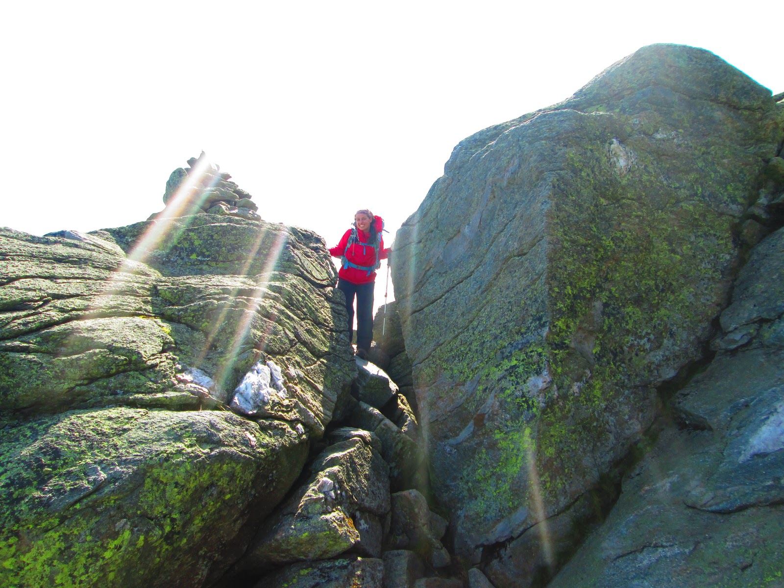
| Pushing the boulders open haha |
 |
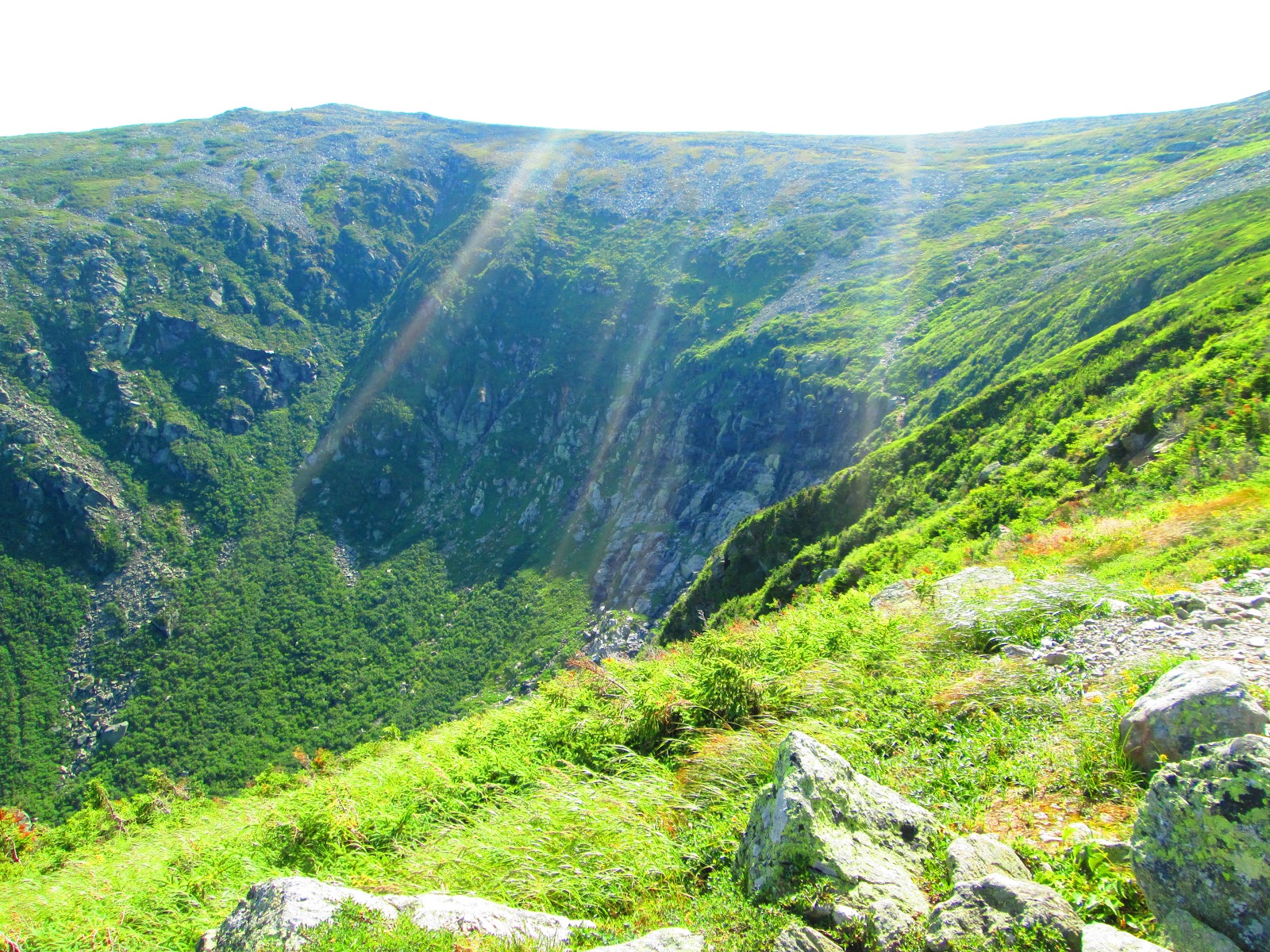
That point right in the middle of the picture is Lion head,
Wildkitty in the background :) |
 |
| Sun rays into the ravine |
 |
| Happy the weather finally relaxed |
Overall, we had a great trip even though the weather wasn't perfect. We were well prepared for the trip which made getting through the weather and tough spots much easier. It is imperative to have the proper gear on any hiking trip because the weather can change in an instant. It was definitely an exciting adventure but could have gone wrong easily if we weren't careful. Our overall mileage was 26.5 miles if I totaled it up correctly. Some points on the map do not have mileage if it is less than 0.3 I think, so you kind of have to guess. We spend the next couple days enjoying North Conway and recovering to finish up a really nice vacation. Before the summer is over, we will get back up to bag the last 3 peaks hopefully in sunny weather! :)